Buyers supplying the EU have started asking beef producers about the clearing history of their land, and the reason is timing. The EU deforestation rules apply to beef reaching the EU market from 30 December, and cattle going through processors now produce beef that lands after that date. Beef Central reported in August that grainfed cattle placed on feed that month already needed to comply, given the feeding period and transport times, and that compliant grassfed cattle would begin going through processors from about mid-October. What a buyer needs from you is specific. Australia is classed as low risk, so importers work from simplified due diligence. For beef the main input is where the cattle have been kept up to slaughter, together with confirmation that the land has not been cleared of forest since 31 December 2020. That covers the properties your cattle were bred and grown on as well as your own, and because the status belongs to the land, anything you have bought or leased since is judged on its full history.
Most producers already know their own land’s history, so the harder part is what a satellite record can and cannot tell a buyer. It can see that vegetation has changed without knowing why, and a bushfire scar or a patch where locally invasive species have been removed can look like clearing from above. A check that works from a single point on a property can end up flagging the whole place as non-compliant on the strength of that one spot. The LPA geolocation tool, which is one way to pass a location to a buyer, works from a single coordinate.
Our new partner Cibo Labs carries out and prices a deforestation assessment that covers the entire farm polygon in place of a single point, comparing the whole property against satellite and vegetation data back to the end of 2020. Where the record shows a change, an assessor goes back to you directly to verify what happened, asking for supporting evidence such as approved clearing, a bushfire or the removal of invasive species. That gives a buyer far more confidence in the result than a flag raised from the satellite alone. Once the assessment is complete it is issued as an AgTrace-endorsed Verifiable Digital Credential, giving your supply chain partners instant, secure and verifiable proof of your deforestation-free status.
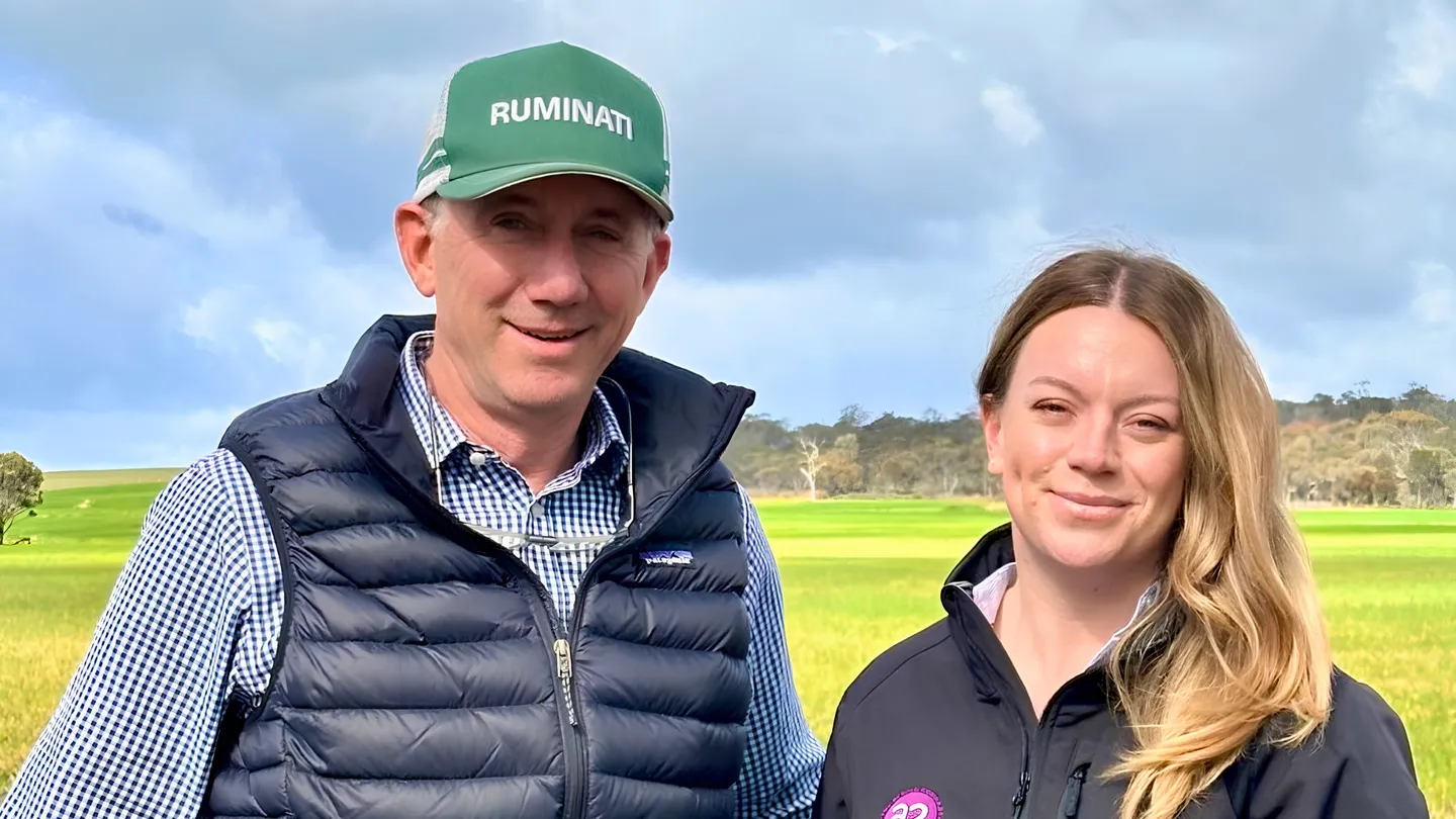
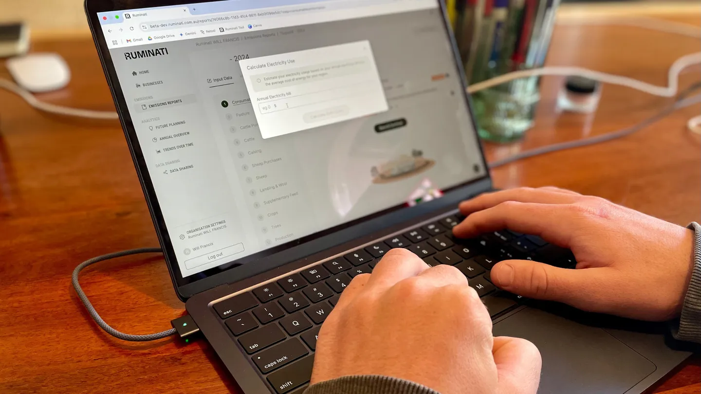
Ruminati can now link that assessment to your account and farm using your property ID, so it sits on your dashboard alongside the rest of your farm data. From there you share the same assessment with every buyer who asks, from one place, and turn off access for anyone you stop supplying. On Ruminati you own your data and decide who sees it.
Buyers are working to the 30 December date, and a status they can verify straight away is what keeps you eligible to supply them.